Deflation troughs are surface depressions created as blowing wind removes the top layers of material. In Hidalgo and Starr Counties, these features are created by wind removal of the sandier Goliad exposing the more clay rich Beaumont formation underneath. Deflation troughs in South Texas fill with water during rain events and can hold water for many months to years, providing a source of surface water in this semi-arid region. The soil exposed in the deflation troughs is classified as the Tiocana - Rio Complex in Starr County and the Rio Clay Loam in Hidalgo County. Some deflation trough soils in Hidalgo are classified as Rio Clay Loam - Saline due to the build up of surface salts through evaporation.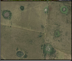
Ancient Landscapes of South Texas
College of Liberal Arts